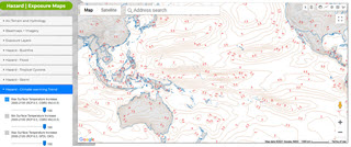
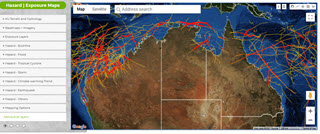
Location Profile APIs and MCP Servers / Tools
We offer a unique set of Location Profile APIs on Property Location, Terrain Intelligence and Hazard Risk. These are application-oriented APIs, performing significant analysis on the fly and returning insights within seconds — as JSON, charts (PNG/SVG/PDF), animations, composite terrain maps, interactive 3-D surfaces and/or PDF reports.
An independent platform, Geospatial System, analyses any property or site at three nested zoom levels (site, neighbourhood and wide area) across multi-country and using high-resolution elevation & hazard datasets. The platform is AI-native via the Model Context Protocol (MCP): all Location Profile APIs or endpoints are exposed as named MCP tools, ready for Claude, GPT, VS Code, Gemini and modern agents. Connect in under two minutes — no code, no SDK — and simply ask, in plain English, “What is the slope at this address?”; the AI selects the right tool and returns the answer, chart or map inline. See Location Profile MCP (05/07/2026) in the Official MCP Registry.
If you plan to deliver your own data and business logic similarly — as web APIs or agent-ready MCP tools — and to accomplish project objectives efficiently, please stay in touch.

Developer Portal

Location Profile APIs on Property Location & Hazard Risk Intelligence – Overview

New Methods and Tools (Web APIs) for Innovative Exposure Analytics in Emergency & Insurance Applications

Advancing Bushfire Risk Analytics with Location Profile APIs and Web Services – 4 New Info Products

Advancing Flood Risk Analytics with Location Profile APIs and Web Services – 3 New Info Products

Advancing Cyclone Risk Analytics with Location Profile APIs and Web Services – 3 New Info Products
Mapping APIs
New mapping content is conveniently delivered via APIs to enhance or enrich web & desktop applications.
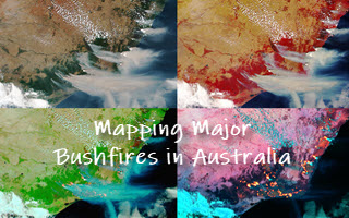
Mapping Major Bushfires in Australia using Near Real-time Himawari-8 Imagery: Access Imagery Tiles via APIs Subscription Plans
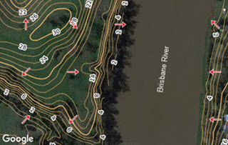
Advancing Flood Risk Analytics at Scale in Australia: Access Detailed Tile Maps on Terrain and Hydrology via APIs Subscription Plans
Cloud-based Processing Service to Turn Your Vector- or Raster-based Geospatial Data into Beautiful and Scalable Tile Maps which can then be accessed via APIs >>